AtlasN3D
LiDAR Scanning and Photogrammetry Services
Quickly and accurately collect data for topographies and more

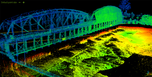
What Is LiDAR?
LiDAR (Light Detection and Ranging) is a tool which sends light pulses to the ground. By recording the return time, LiDAR can measure distances which can then be used to calculate a coordinate for the tiny section of the surface hit by the light beam. In a matter of seconds, millions of coordinates are created that can be rendered into a 3D model.
Our Equipment
RIEGL VUX1
Mobile LiDAR Scanner
- 5 mm survey-grade accuracy
- scan speed up to 250 scans / second
- very high measurement rate up to 1,800,000 meas./sec
- can be mounted on airplanes, helicopters and vehicles
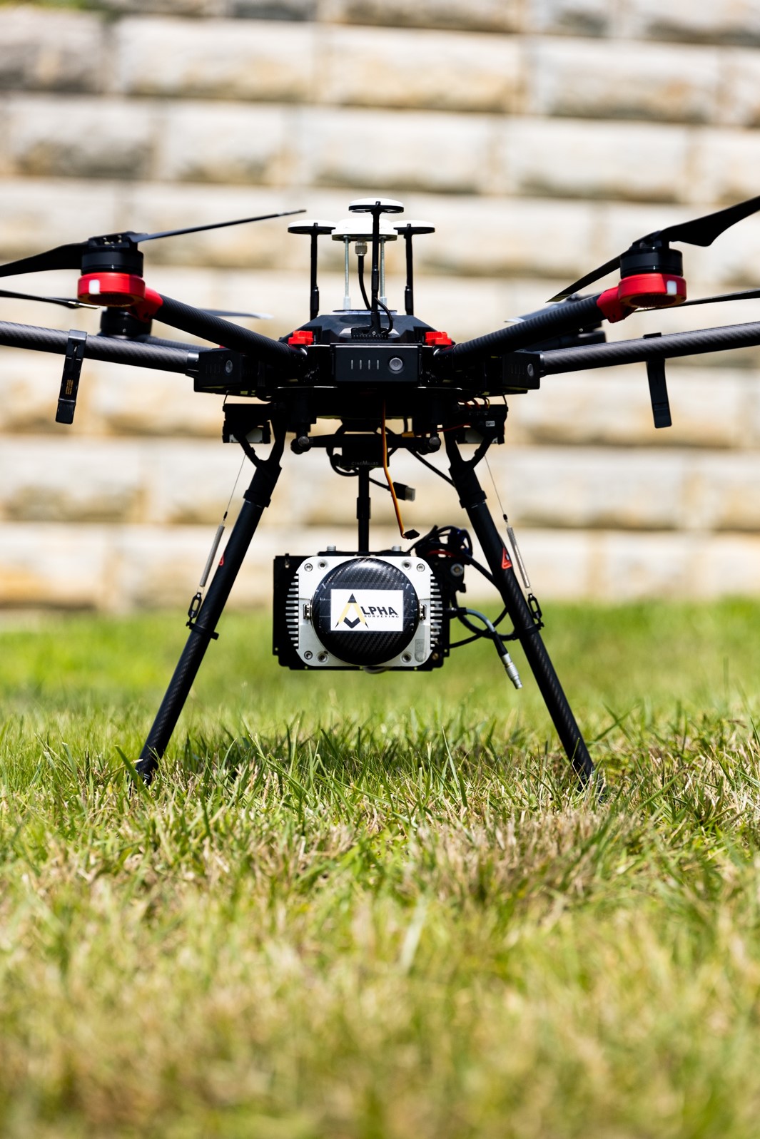
DJI MATRICE 600 PRO
- UAV
- Hexacopter
- Intelligent Flight Batteries
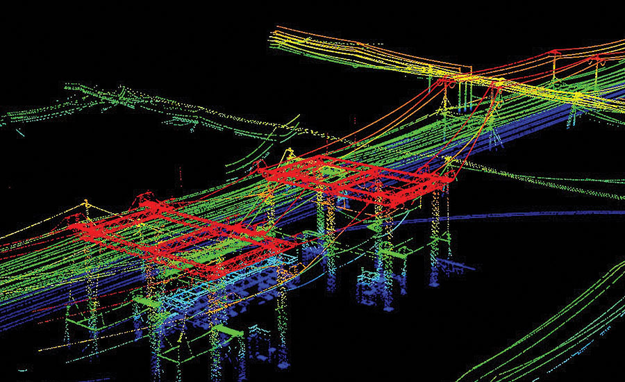
POWERFUL PROCESSING SOFTWARE
- Point Clouds
- Topographies
- ALTA Surveys
- Power Line Maps
- As-builts
- Railway Maps,
- Pipeline Inspection
- Much more